

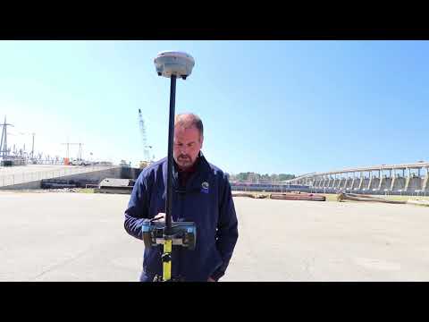
Integrated Surveying using a S5 Robot and R10 GPS
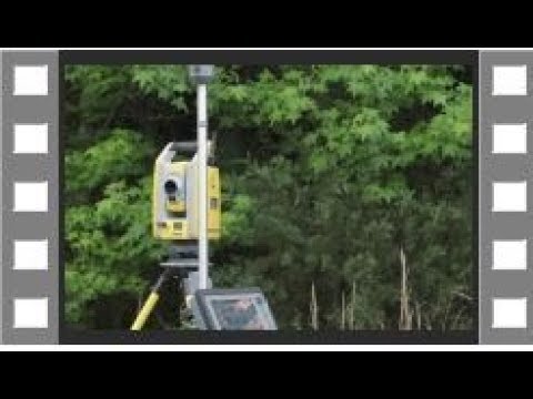
Learn how to use Trimble Integrated Surveying to locate a property corner. Bonus is how well the R10 worked at the end.
Trimble Business Center Point Cloud Surface to Civil3D
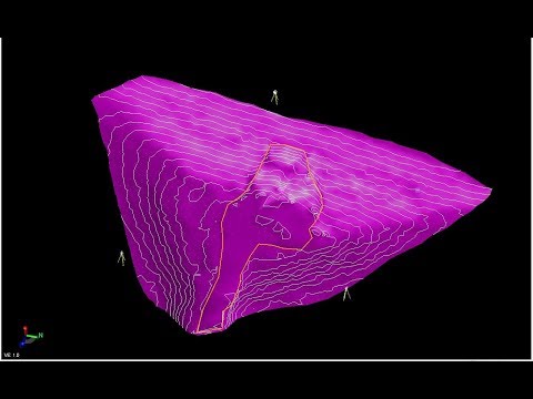
In this video I have data from a Trimble SX10 Robot and I am creating a surface by sampling down the data and exporting a xml surface to Civil3D. #neigps, […]
Static Processing with RTX, OPUS, and Trimble Business Center
Processing static data using RTX, OPUS and Trimble Business Center. Quick tutorial showing you how to use each to process your static data.https://gnss-processor.trimbleaccess….https://trimblertx.com/
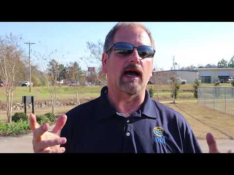
Hydro Surveying Biloxi MS
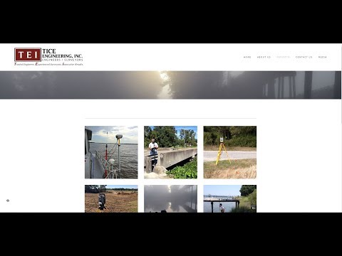
My friends from Tice Engineering doing some Hydro Surveying around the Pops Ferry Bridge Biloxi MS.
Trimble Business Center Point Clouds to Civil 3D!
In this video I am using SX10 point cloud data in Trimble Business Center to export files to Civil 3D. I show you how to export Recap files straight out […]
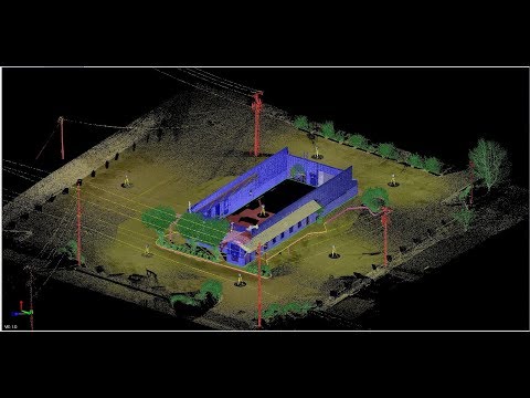
Using the Trimble Business Center Cutting Plane tool to get the footprint of a building.

In this video I draw the footprint of the building using the Trimble Business Center Cutting Plane tool. In the next video I will bring all this data to Civil […]
Trimble Business Center Regions, creating layers for scan data collected with the Trimble SX10

Trimble Business Center regions and working with SX10 data.. How to create regions (layers) in Trimble Business Center. Next video will be bringing in the las files we create in […]
Why Compensated Point
Give me your thoughts about the Compensated Point. Is there a real use for it? Is it a game changer for a surveyor?
Navigate to Point
In the video I am just using the Navigate to point function in Access. Making it easy and not changing any setting or creating any survey styles.