

Drone Data and X7 Data Georeferenced in Trimble Business Center
In this video I show you how to combine data from a X7 (scale factor 1:0) and drone data (state plane). Its a little tricky because you need them both […]
How to Survey with a Trimble MultiTrack Prism
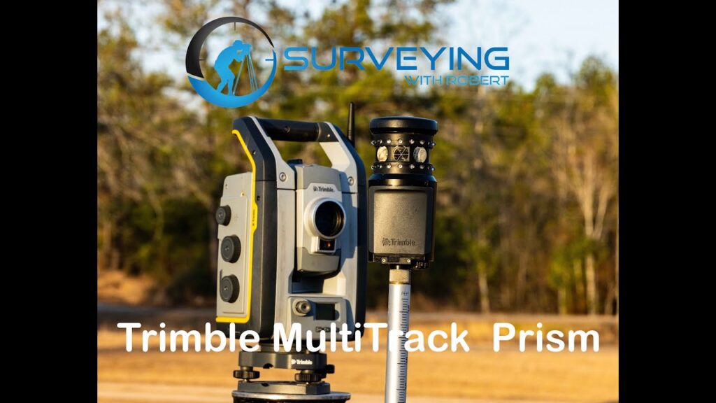
In this video I show you how to use the GPS on board the data collector to a position for a setup and backsight. I have a total of 12 […]
Fixing common surveying field errors with Trimble Business Center

This is the Data I used in my Lab class at Trimble Dimensions 2024. This video shows how to fix common surveying field error with Trimble Business Center.
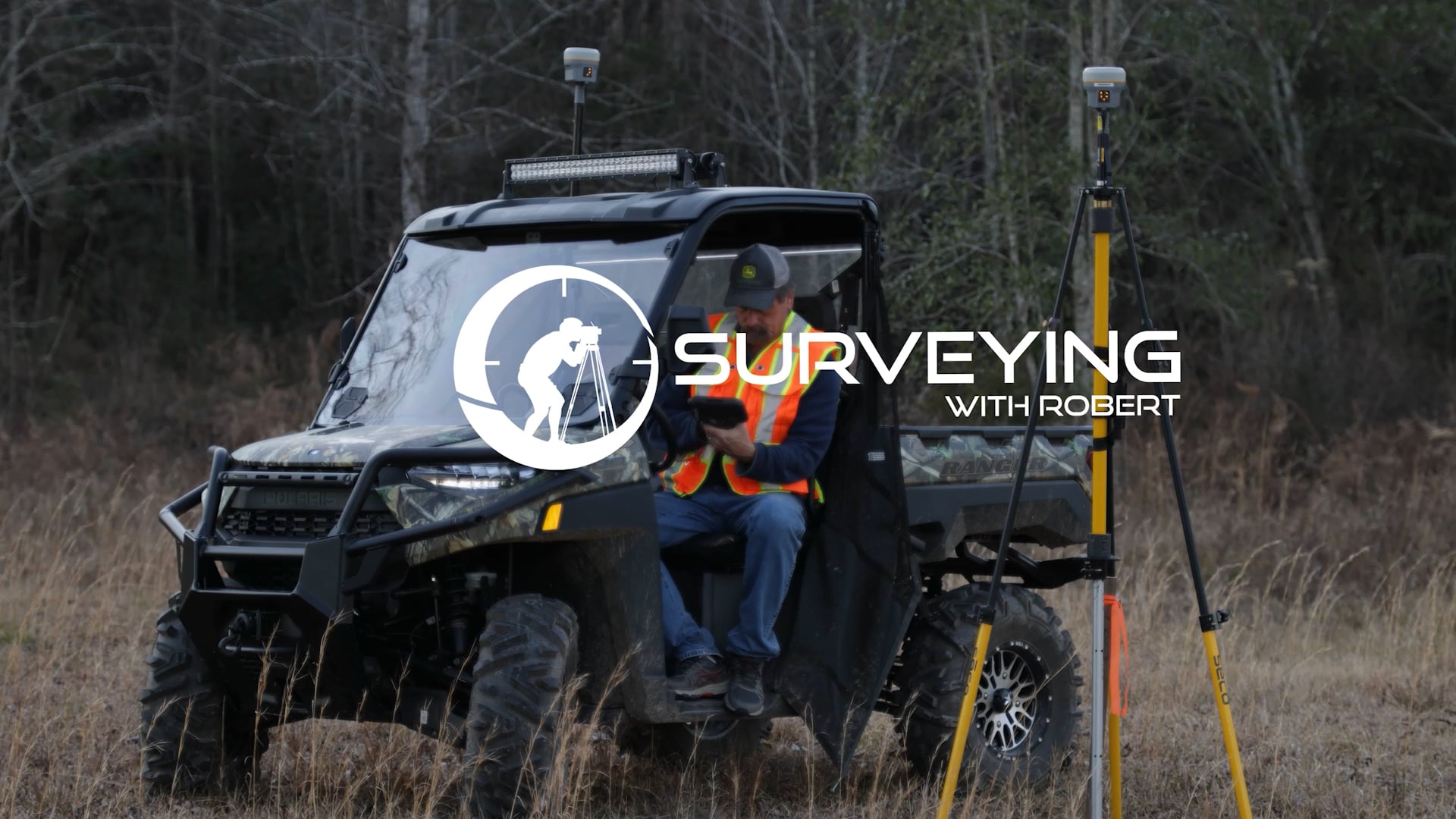
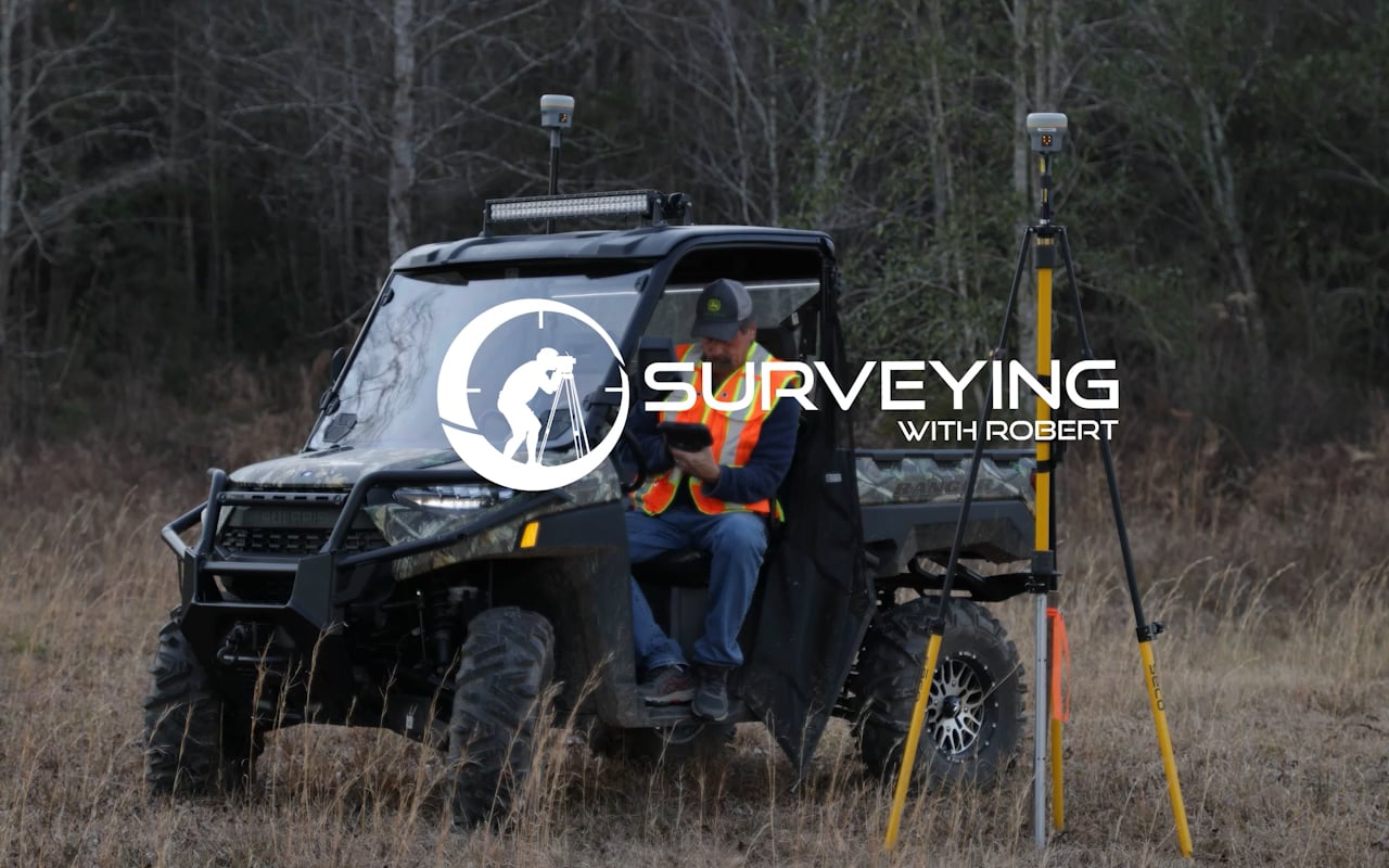
Surveying with a R8 3 base and rover using cellular and radio at the same time

In this video I show you how you can run radio and cellular at the same time with an R8-3 as a base station.
Georeference Scans in Trimble Business Center

In this video we look at Georeferencing Trimble X7 data and Drone Lidar data to create one data set in Trimble Business Center. Trimble Business Center version 2023.10
Cellular Base to Rover with Trimble Access IBSS

Want to get more range out of your RTK system. Have you thought about using something other than radio when surveying with RTK base and rover? Let me introduce Trimble’s […]
Tip of the day!

n/a
Can you store a Site Calibration in Access?

In this video I will show you hot to store a Site Calibration in Trimble Access. I will also show some file management for staking projects with a background map […]
Create Points in Civil 3D
In this video I am using Civil 3D version 2021 to create a drawing calculate points for staking and exporting the points to a .csv format to upload to a […]
Step 4: S5 Robot Setup and Backsight
In this video I will show you how to Key in points and create a setup and check a backsight