

Drone Data and X7 Data Georeferenced in Trimble Business Center
In this video I show you how to combine data from a X7 (scale factor 1:0) and drone data (state plane). Its a little tricky because you need them both […]
Fixing common surveying field errors with Trimble Business Center

This is the Data I used in my Lab class at Trimble Dimensions 2024. This video shows how to fix common surveying field error with Trimble Business Center.
Georeference Scans in Trimble Business Center

In this video we look at Georeferencing Trimble X7 data and Drone Lidar data to create one data set in Trimble Business Center. Trimble Business Center version 2023.10
Create Points in Civil 3D
In this video I am using Civil 3D version 2021 to create a drawing calculate points for staking and exporting the points to a .csv format to upload to a […]
Combine Static GPS Files
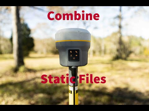
nope not Trimble Software, Windows software. Combine multiple GPS files into one file.
Process points with OPUS xml in Trimble Business Center
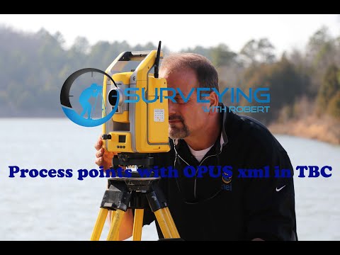
I’m back!!!Trimble GNSS Processor https://surveytools.trimbleaccess.com…
Edit Point Cloud Elevations in Trimble Business Center
Have you ever needed to adjust the Elevation of a LAS file and make it fit your datum. Well in this video I show you how to use Trimble Business […]
Using OPUS in Trimble Business Center

This is how you use a XML file from OPUS to correct the position of your points in Trimble Business Center.
Trimble SX10 Boat Lift 3D Model
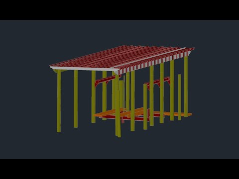
I sent off the RCP file from Trimble Business Center and had a 3D Model of the boat lift created that opens in Civil3D. Google Drive Data Link: https://drive.google.com/drive/folder…
Trimble SX10 Boat Lift Scan Data
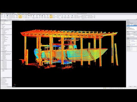
Used a Trimble SX10 to scan a boat lift.Almost forgot the data.https://drive.google.com/drive/folder…